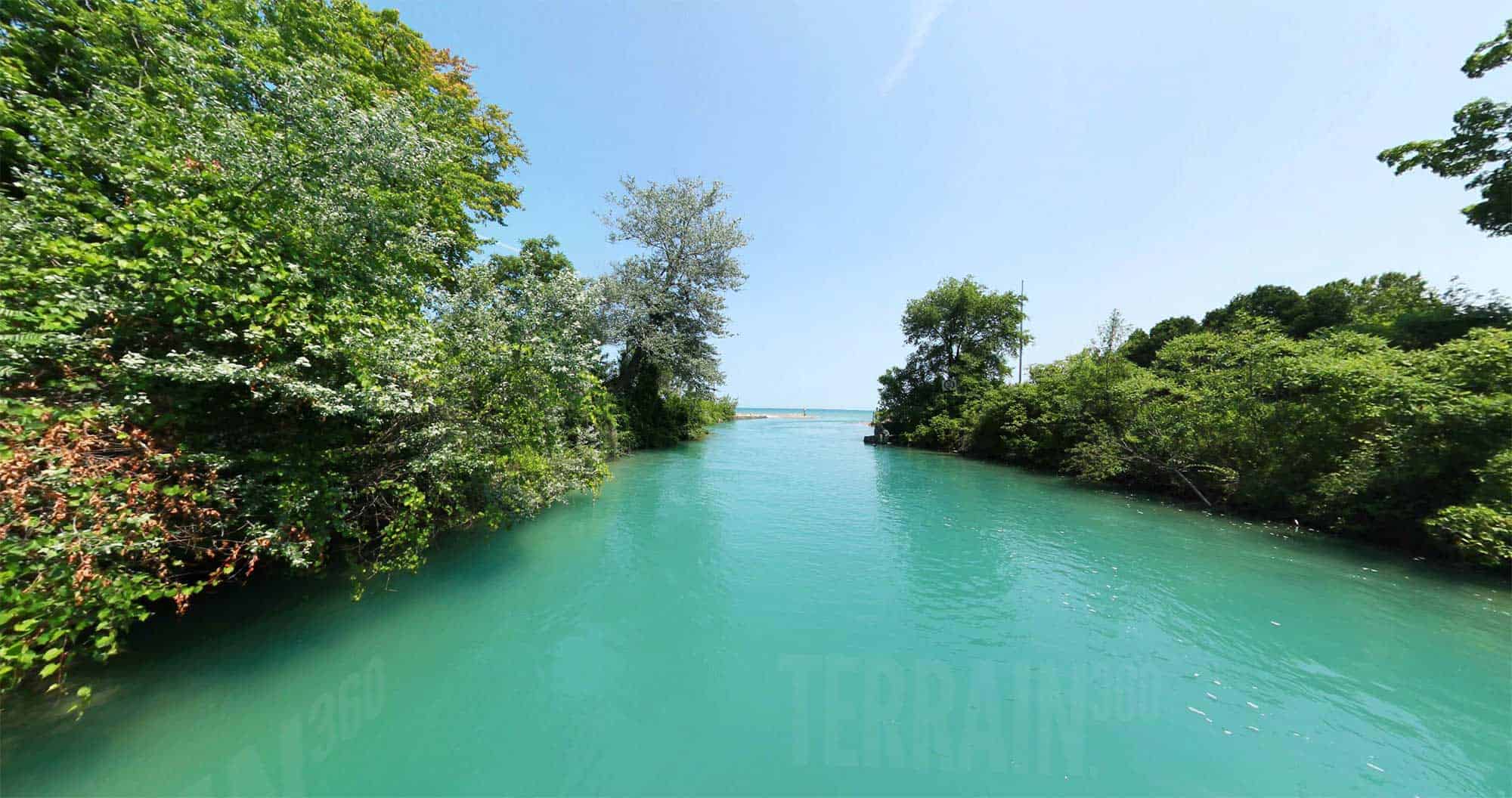
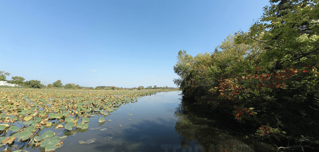
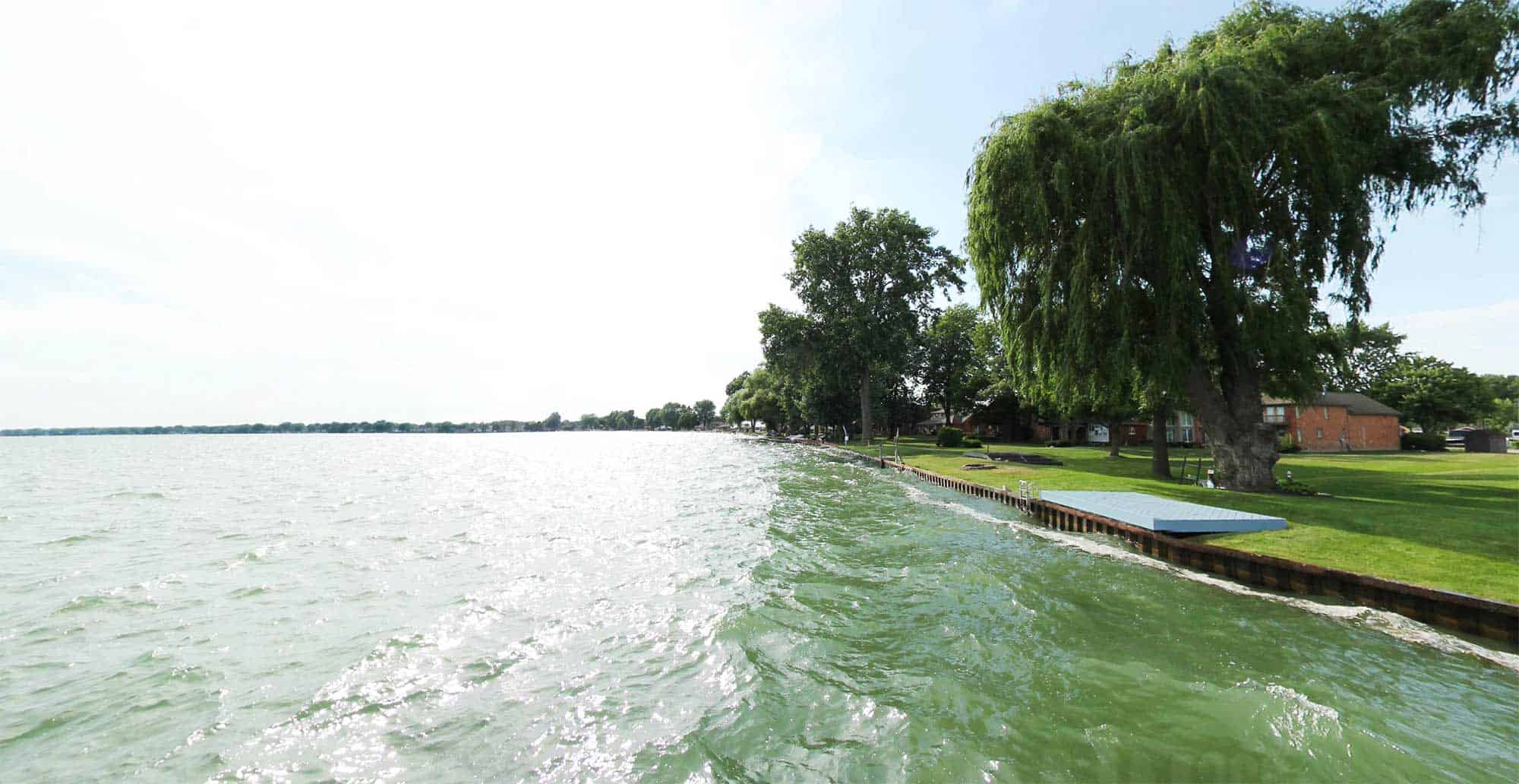
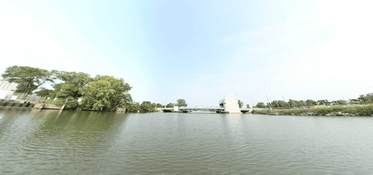
Take a virtual 360-degree tour of Southeast Michigan’s natural and recreational assets.
SEMCOG’s Southeast Michigan Trail Explorer offers interactive image mapping of more than 50 regional land and water trails. In total, Trail Explorer provides virtual access to nearly 1,000 miles of regional trails including 550 miles of water trails and 400 miles of greenways and land trails.
Explore on the map here, or jump directly to your trail of choice from the lists below.
virtual tours
water trails
To access the virtual tour for each trail, click on the trail image.
Blueways of St. Clair
Clinton River Water Trail
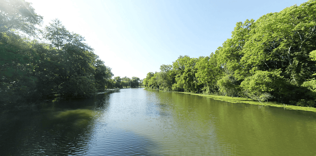
Travel this 81.5-mile water trail, which includes three sections along the Clinton River. Take the Lower River from Budd Park along riverbanks and slower moving waters to Lake St. Clair. Try the expert-level steep gradients at the Heart of the Clinton. Coast through the tranquil headwaters near Utica.
Detroit River Heritage Water Trail
Huron River Water Trail
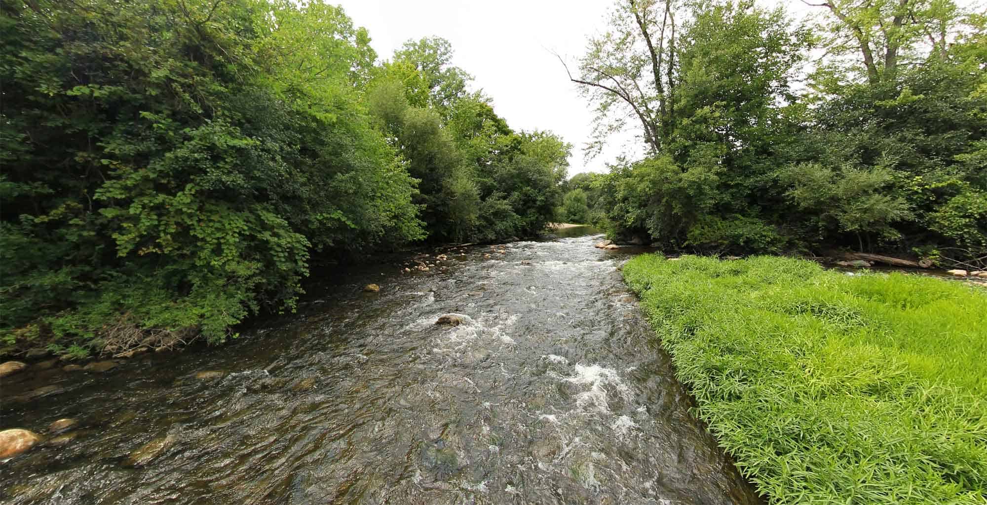
Behold this 104-mile National Water Trail, which provides a variety of paddling experiences from the rapids at Delhi and Dexter to the placid flat water at the entrance to Lake Erie. For kayaking, canoeing, fishing on the fly, and other freshwater pursuits, follow the Huron River Water Trail and discover one of the region’s natural treasures.
Lake Erie Shoreline and Water Trails
Lake St. Clair Water Trails (Macomb County)
River Raisin Water Trail
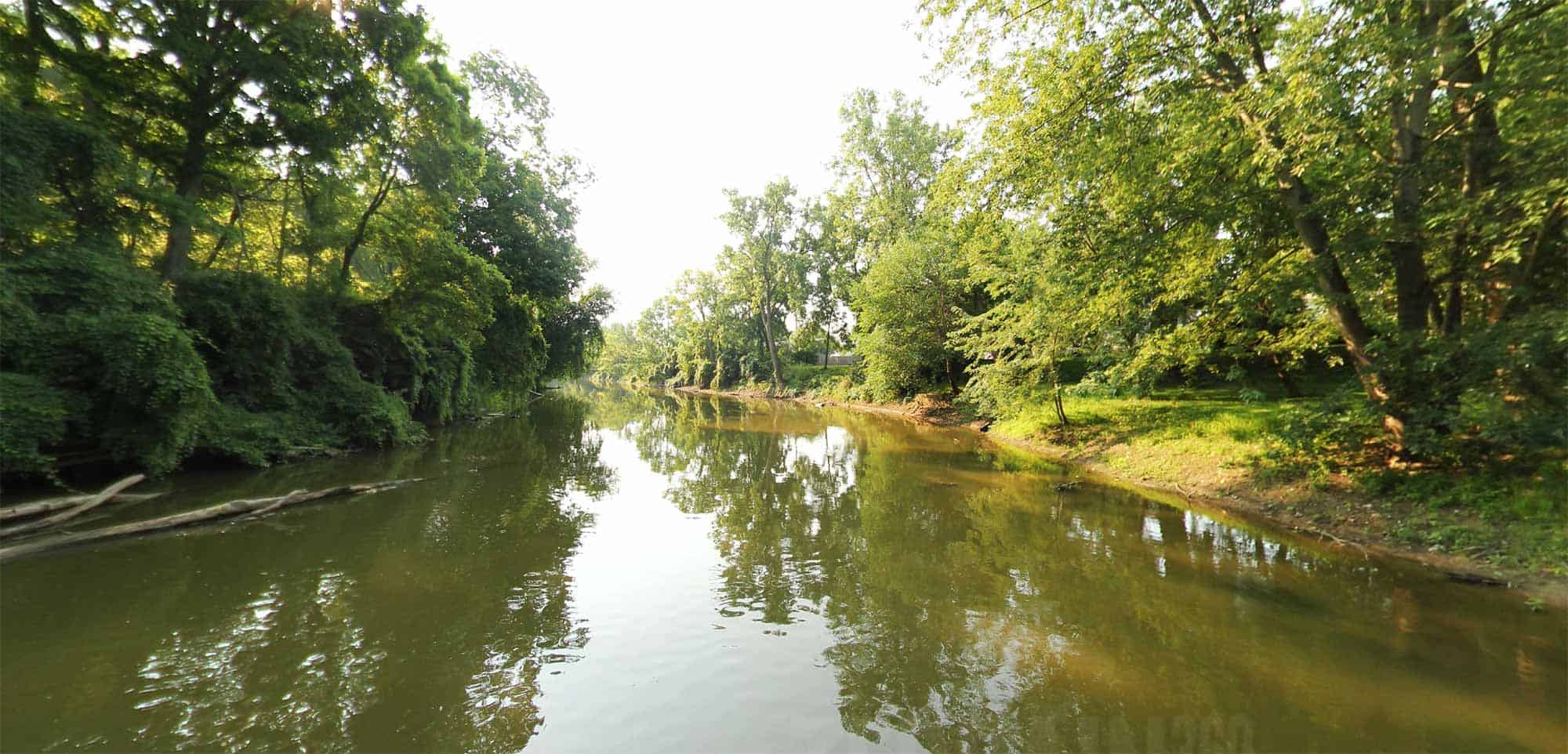
Explore 25 miles of water trail, including three main sections of paddling routes along the River Raisin: the Upper Route beginning in downtown Dundee; the Middle Route from Raisinville Township through the City of Monroe; and the Lower Route connecting downtown Monroe to Sterling State Park, Brest Bay, and Lake Erie.
Greenways and Land Trails
Addison Oaks County Park Trails
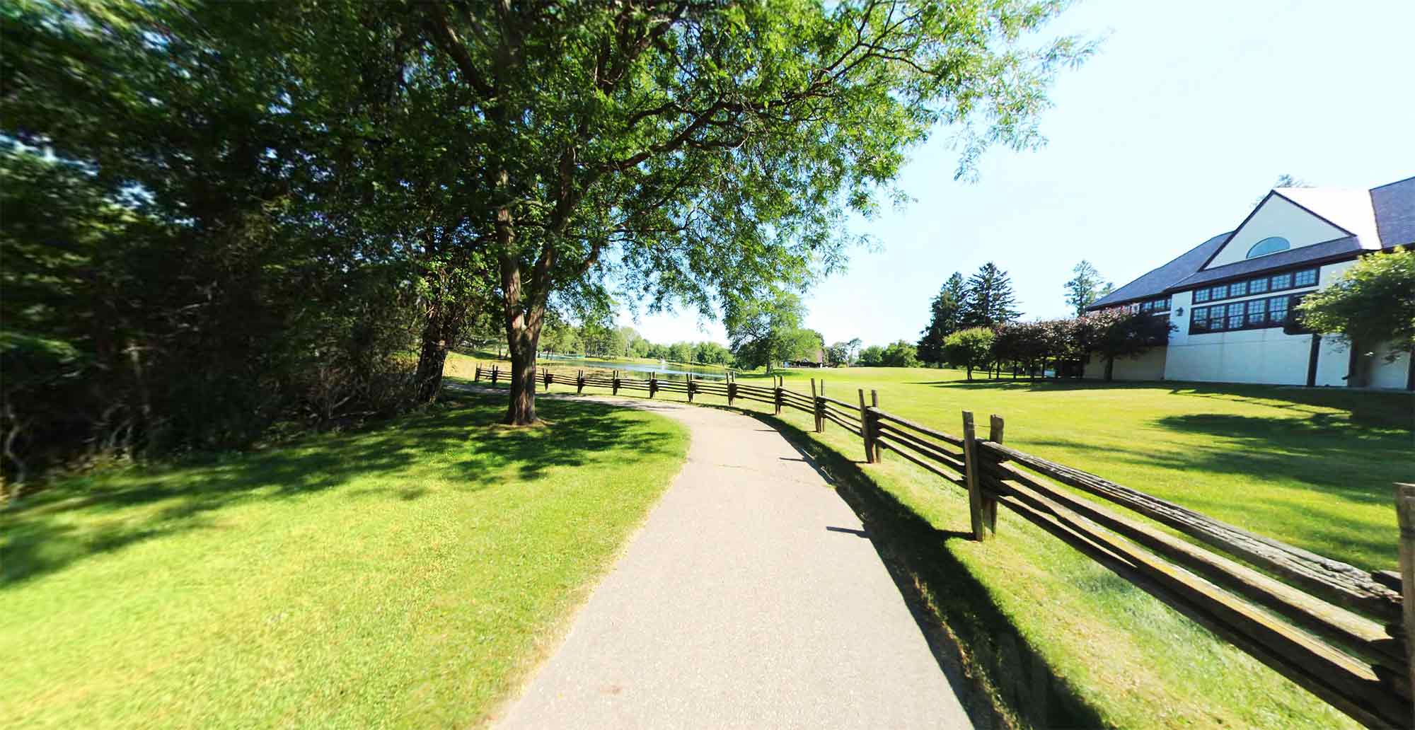
Travel through a combination of hiking, biking, equestrian, and mountain bike trails and paths at Oakland County’s Addison Oaks Park. Currently 9.3 miles of the 20+ mile system is mapped. For additional trail information visit the Oakland County Parks website.
Balb Mountain State Recreation Area
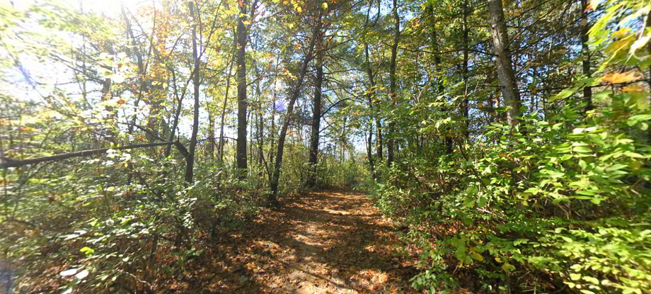
Nestled within the 4,637 acres of State Recreation land, are multiple hiking and biking trails that allows visitors to experience some of the steepest hills and most rugged terrain in Southeast Michigan.
Blue Water River Walk & Bridge to Bay Trail
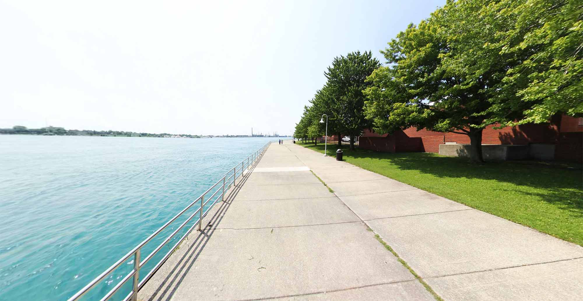
Take in more than 10 miles of trails along the St. Clair River, from north of the Blue Water Bridge to south of the city of Marysville. This trail includes the Blue Water River Walk, which features a pedestrian trail, fishing pier, observation dock, public art, and a wetlands park.
Border-to-Border Trail

Hop on the Border-to-Border trail, including more than 25 miles of pathway along the Huron River in Washtenaw County. This paved trail connects to Hudson Mills and Dexter Huron Metroparks, Mill Creek Park in Dexter, and regional destinations in Ann Arbor and Ypsilanti, such as Gallup Park, Matthaei Botanical Gardens, and Riverside Park.
Clinton River Park Trail & River Bends Trail (Macomb County)
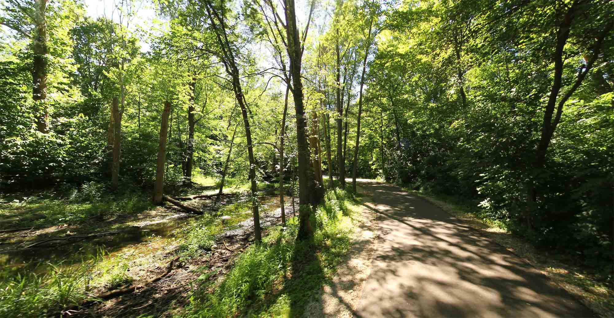
Explore 12 miles of paved trails through River Bends Park in Shelby Township and pathways along the Clinton River in Utica and Sterling Heights. These trails are part of the Iron Belle Trail connecting several regional parks, including Dodge Park, Heritage Park, Memorial Park, and River Bends Park.
Clinton River Park Trail & West Bloomfield Trail (Oakland County)
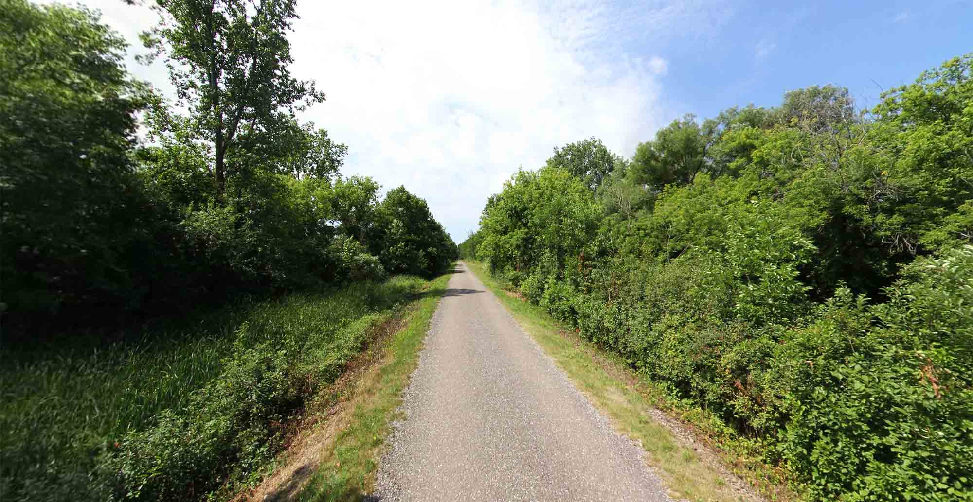
Travel 20 miles along the former Grand Trunk Western Railroad on the Clinton River and West Bloomfield Trails in Oakland County, including multiple communities, parks, and destinations.
Crosswinds Marsh Trails
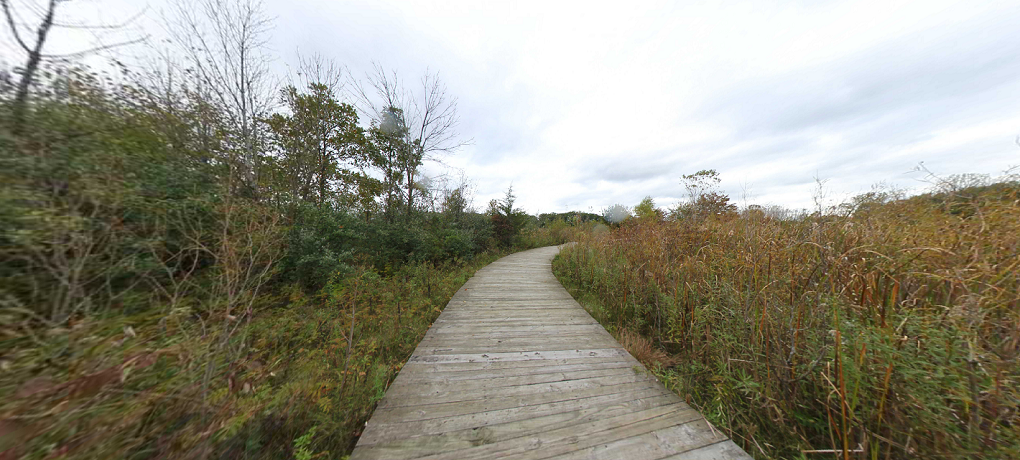
Explore one of the country’s largest and most easily accessible man-made marshes. With over five miles of foot trails, including over 1 mile of boardwalk over ponds, marshes, and streams, Crosswinds March offers something for every nature lover.
Detroit Riverwalk & Dequindre Cut
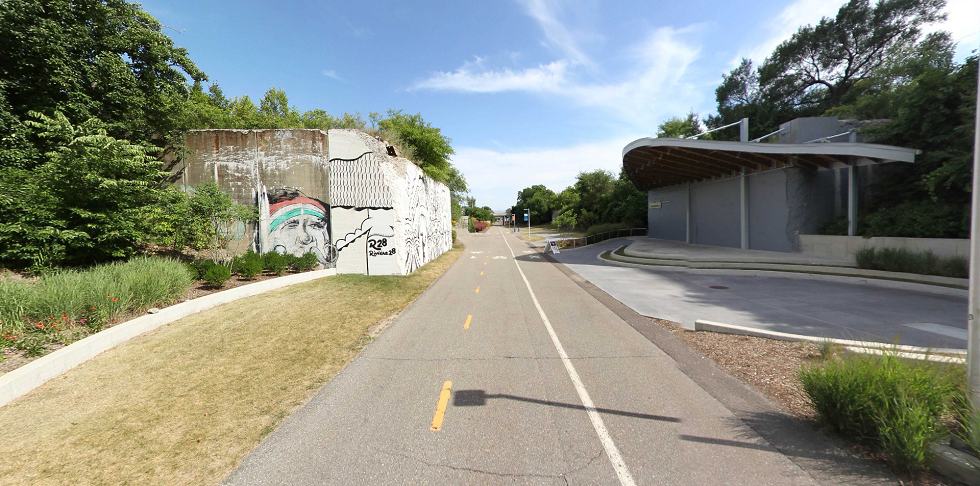
Take the Detroit RiverWalk 3.5 miles from Gabriel Richard Park on the East Riverfront past Cobo Center to the West Riverfront, featuring more 20 acres of green space. The RiverWalk connects with the 2-mile Dequindre Cut, a rails-to-trails greenway with separate lanes for cyclist and pedestrians.
Downriver Linked Greenways
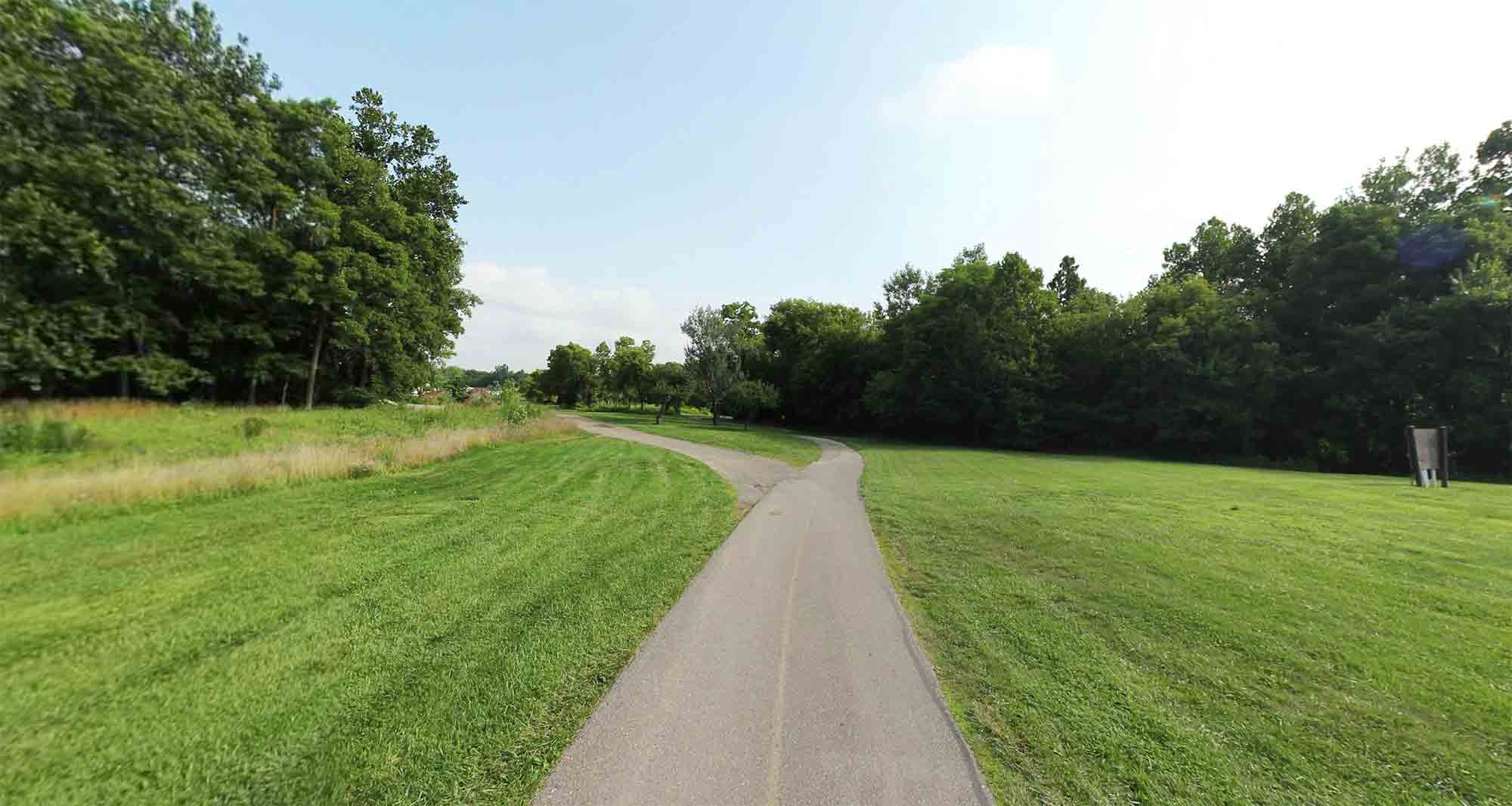
Hike or bike along over 30 miles of trails and pathways along the Huron River. The Downriver Linked Greenways includes links through four Metroparks (Lower Huron, Willow, Oakwoods, and Lake Erie), and well as Elizabeth Park and paved trail along the Detroit River International Wildlife Refuge.
Freedom Metro Trail
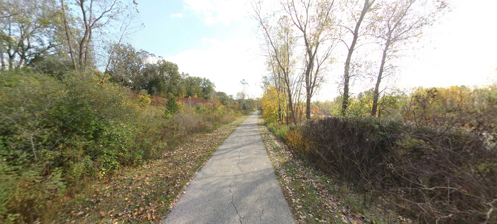
Ride or walk along over 11 miles of trail along Metro Parkway and through Lake St Clair Metropark. This trail officially begins in from of the Lake St Clair beach house and includes 2.5 miles of paved pathways along the Clinton River Spillway.
Hines Park Trail
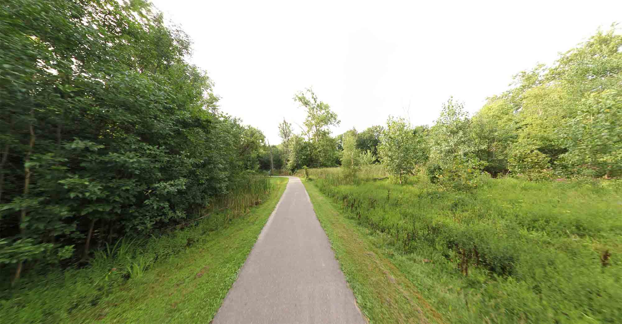
Travel 20 miles on Hines Park Trail’s paved pathway along Edwards Hines Drive and the Rouge River basin, while passing through a long series of Wayne County parks and recreation areas.
Huron Meadows Rustic Trails
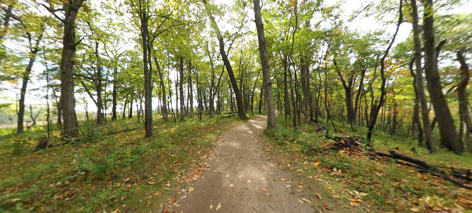
Explore over 10 miles of rustic nature trails with the nearly 1,600 acre Huron Meadows Metropark.
Huron Valley Trail

This 12 mile trail follows along the former Airline Railway and connects the City of Wixom and Lyon Oaks Park to both Island Lake Pathway and Kensington Metropark, as well as to downtown South Lyon and McHattie Park.
I-275 Metro Trail

This nonmotorized trail corridor along I-275 provides a convenient connection from the terminus of the West Bloomfield Trail in Oakland County to the Downriver Linked Greenways in Wayne County. In total, this trail offers nearly 40 miles of walking and biking connections.
Lakelands Trail State Park
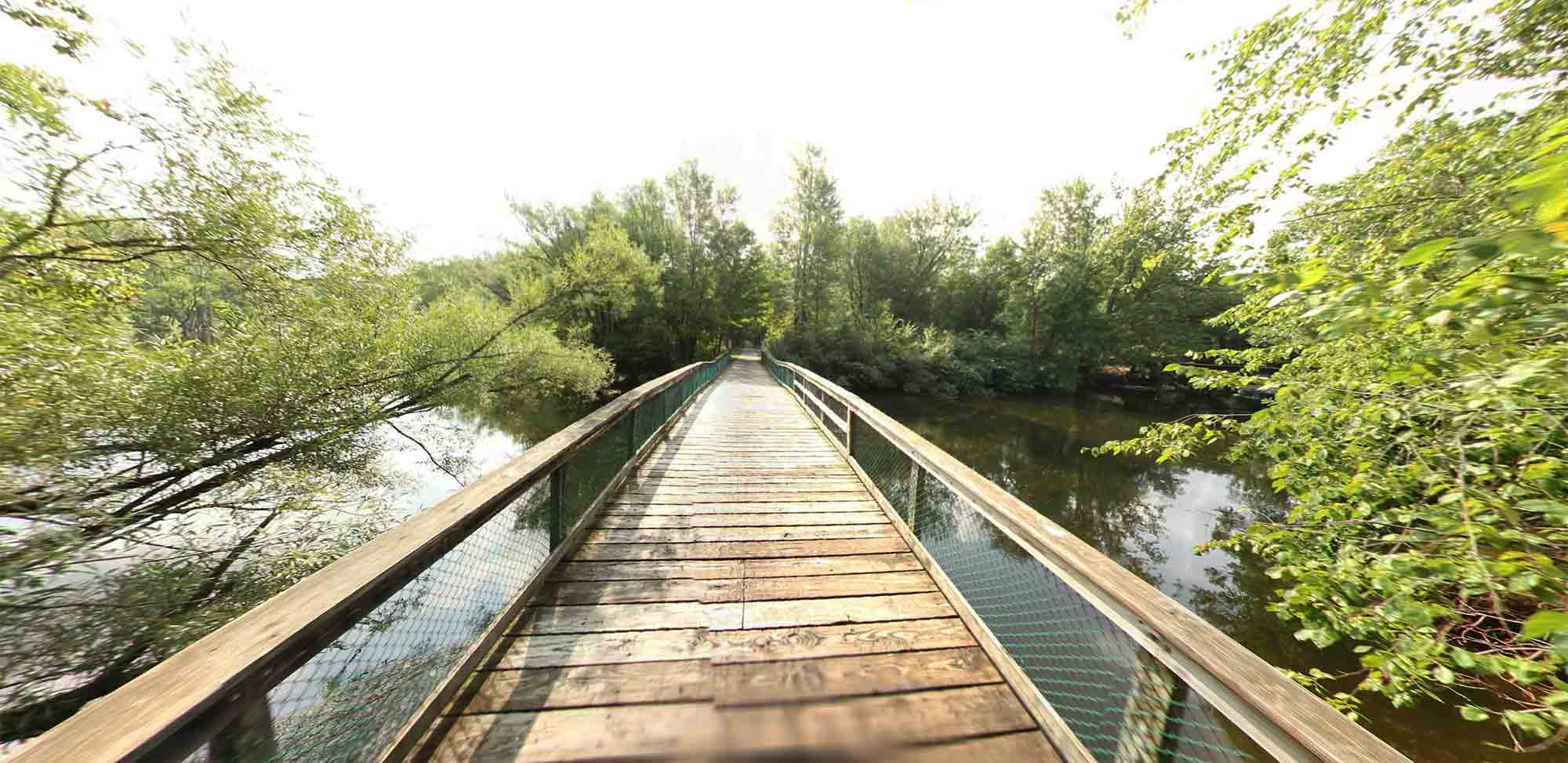
Bike, walk, run, or ride a horse on this 22-mile-long trail, connecting directly to the Pinckney Recreation Area. The eastern segment of the trail passes through a series of lakes from Hamburg Township and Lakeland to Munith.
Macomb Orchard Trail

Enjoy 23.5 miles of paved trail stretching through 7 communities in northern Macomb County. The Macomb Orchard Trail provides access to several downtowns, including Romeo, Armada, and Richmond, and connects to several regional assets, such as Stoney Creek Metropark and the Clinton River Trail.
Milford Trail & Kensington Metropark Trail
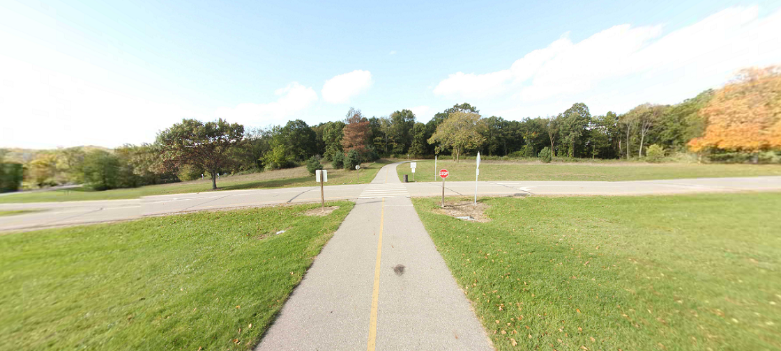
Beginning at Hubbell Pond Park in Milford and extending 20 miles through Kensington Metropark and ending at Island Lake State Recreation Area in Green Oak Township, this network of trails provides those who enjoy nature and recreation ample options to see and explore one of the region’s natural treasures.
Paint Creek Trail
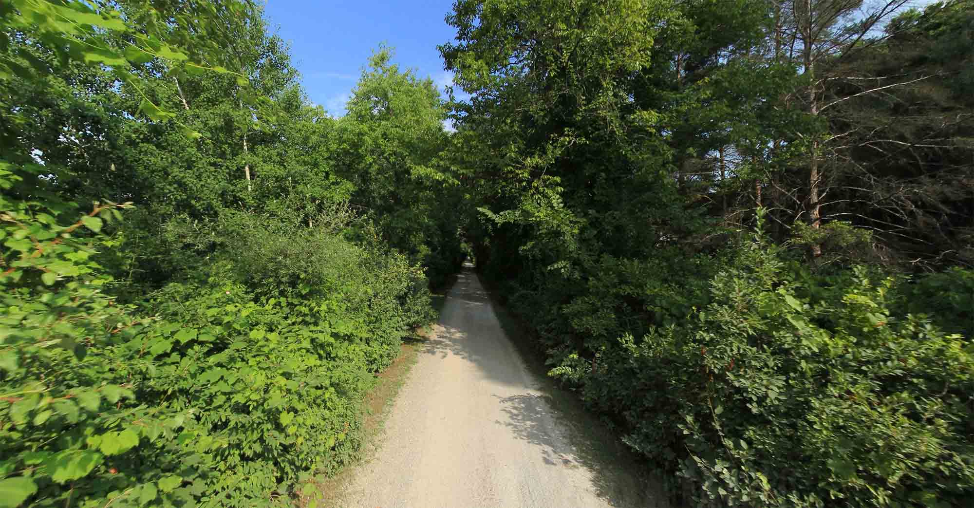
Explore this 9-mile rail-to-trail, a mix of paved asphalt in the City of Rochester and finely screened and compacted crushed limestone through Rochester Hills, Oakland Township, Orion Township, and the Village of Lake Orion.
Pinckney State Recreation Area
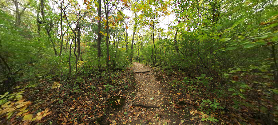
Pinckney Recreation Area includes over 40 miles of multi-use and hiking trails, as well as access to multiple fishing lakes, campsites, and multiple backpacking opportunities.
Polly Ann Trail

Visit the Polly Ann, a 17-mile trail connecting the townships of Orion, Oxford, and Addison as well as the villages of Oxford and Leonard. The trail surface is a combination of crushed aggregate and asphalt surfaces as well as asphalt.
River Raisin Heritage Trail & STerling State Park
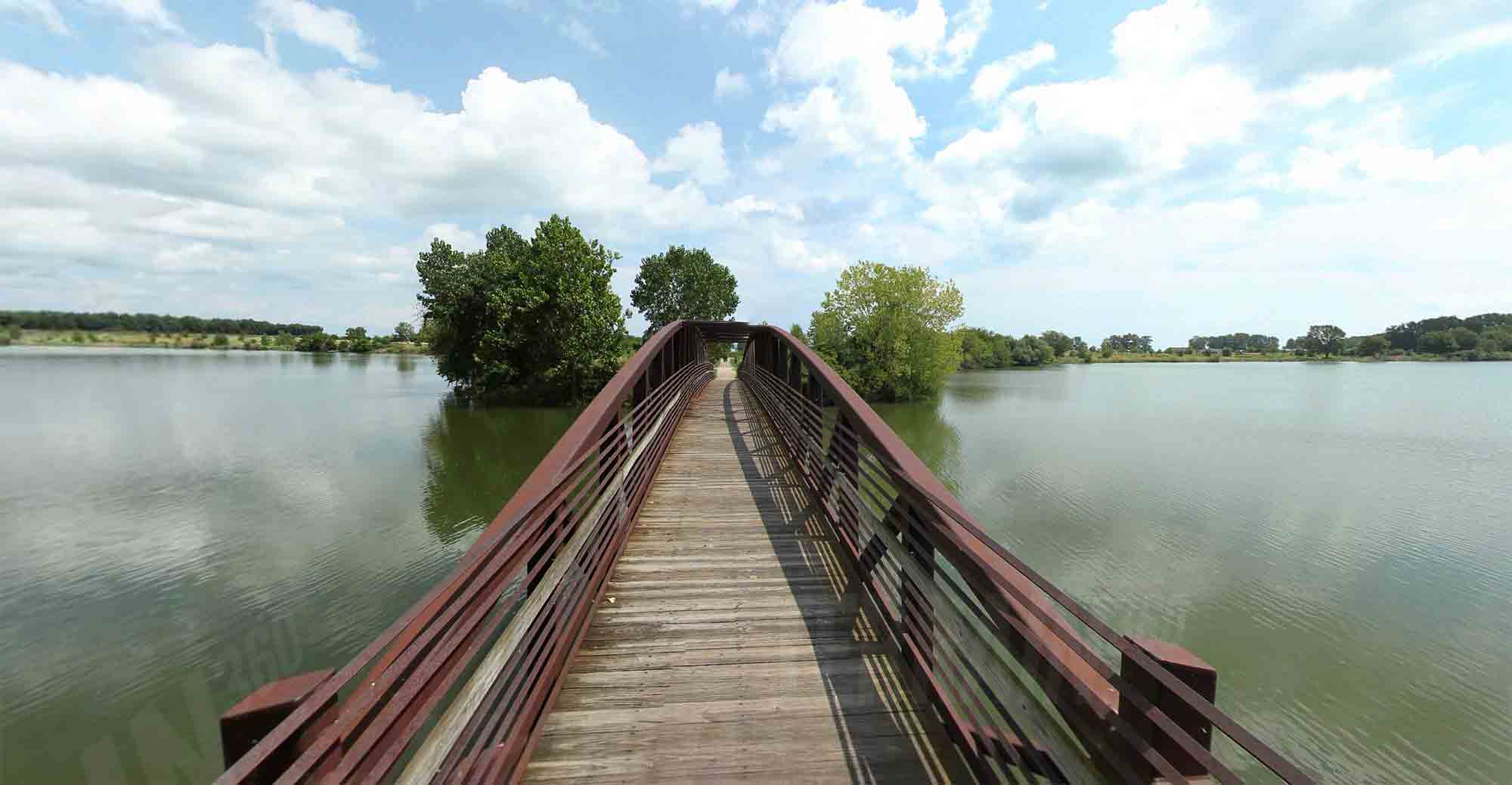
Use 8 miles of paved trails to access major historic sites, state and local parks, and ecological features. This trail connects to and includes trails at the River Raisin National Battlefield Park and Sterling State Park.
Stony Creek Metropark Hike-Bike Trail

Travel along over 8 miles of paved pathways within Stony Creek Metropark, including a circular loop around Stony Creek Lake with access to several nature trails.
Wadhams to Avoca Trail
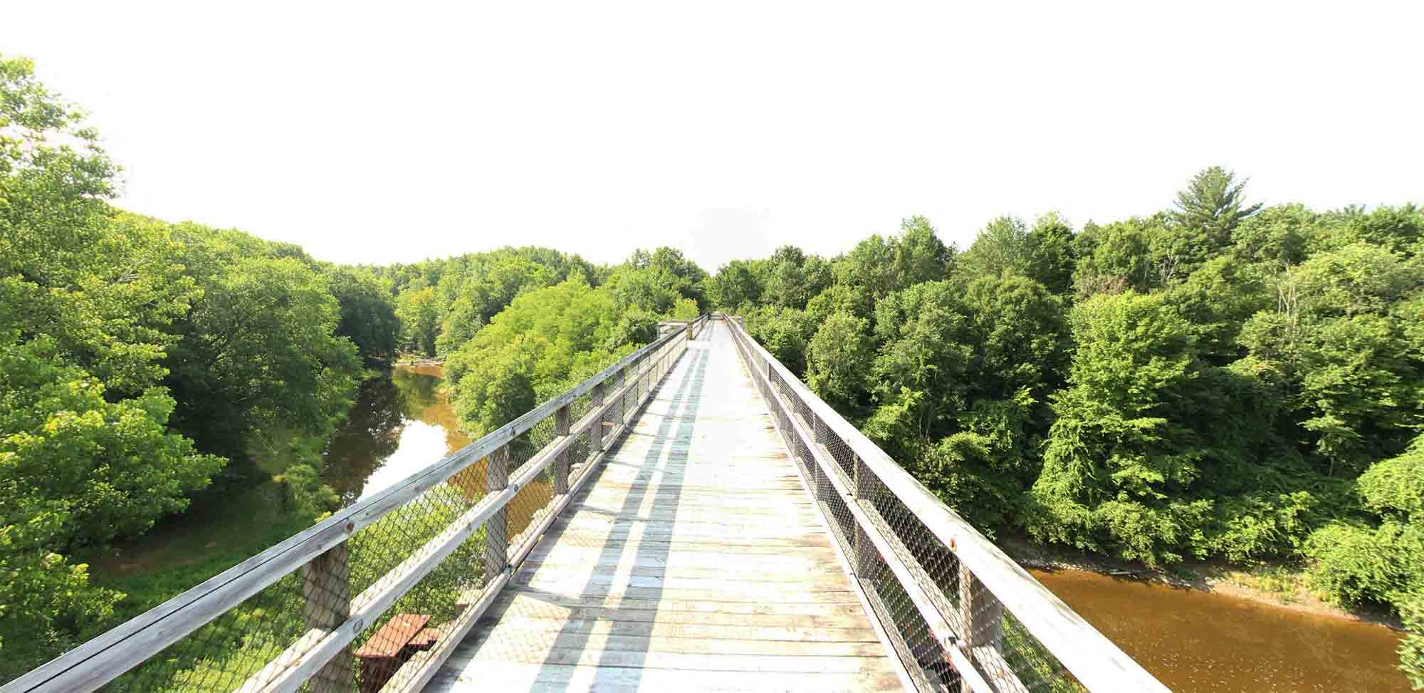
Find a variety of opportunities for walking, rollerblading, biking, and horseback riding in St. Clair County on this 12-mile rail-to-trail. A highlight is the 640-foot-long and 60-foot-high Mill Creek Trestle with 4 overlook areas and views of the Mill Creek Valley.

